Prepare now for winter weather
Posted 12/7/18
Parts of South Carolina are facing some harsh weather in the upcoming weekend.
Lexington County residents may be luckier than others in the state. The forecast here calls only for rain and …
This item is available in full to subscribers.
Subscribe to continue reading. Already a subscriber? Sign in
Get 50% of all subscriptions for a limited time. Subscribe today.
You can cancel anytime.
Please log in to continue |
Prepare now for winter weather
Posted
Parts of South Carolina are facing some harsh weather in the upcoming weekend.
Lexington County residents may be luckier than others in the state. The forecast here calls only for rain and chilly temperatures.
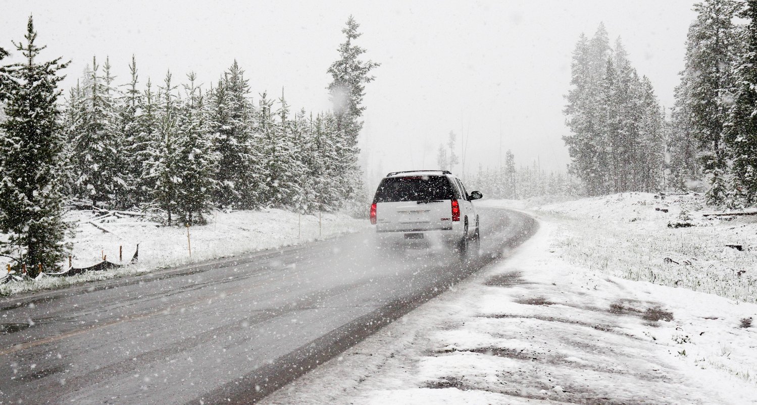
For those traveling to colder parts of the state, the American Red Cross urges residents to prepare now for extreme weather.
Consider these safety tips for times when you must drive during extreme winter weather.
- Fill up your gas tank.
- Clean car lights and windows to help you see.
- Keep a disaster supplies kit in your trunk.
- Pay attention to the weather forecast. Before you leave, let someone know where you are going, the route you plan to take, and when you expect to get there.
- Make sure everyone has their seat belts on and give your full attention to the road.
- Don’t follow other vehicles too closely. Icy roads make sudden stops difficult.
- Don’t use cruise control when driving in winter weather.
Don't forget about keeping your home safe as well:
- Open kitchen and bathroom cabinet doors to allow warmer air to circulate around the plumbing. Be sure to move any harmful cleaners and household chemicals out of the reach of children and pets.
- Leave your faucets running at a light trickle when outside temperatures drop below freezing. Running water through the pipe helps prevent pipes from freezing.
- Check your emergency kits to be sure they have enough supplies in the event power is lost.
Keywords
Lexington County, american red cross, winter weather


Comments
No comments on this item Please log in to comment by clicking here